Getting Around in Park City's Unique Neighborhoods
HAIL A FREE RIDE: Both Park City and Summit County offer free transit in the form of traditional, fixed-route buses and on-demand rides. In city limits, download the myStop Mobile app or check out parkcity.org/departments/transit-bus for the latest on schedules, routes, and on-demand services. For the county’s transit system, download the High Valley Transit app or visit highvalleytransit.org for schedules, routes, how to hail a ride, the lowdown on the micro-transit zone, and more; or call 435-246-1538 to arrange a micro-transit ride.
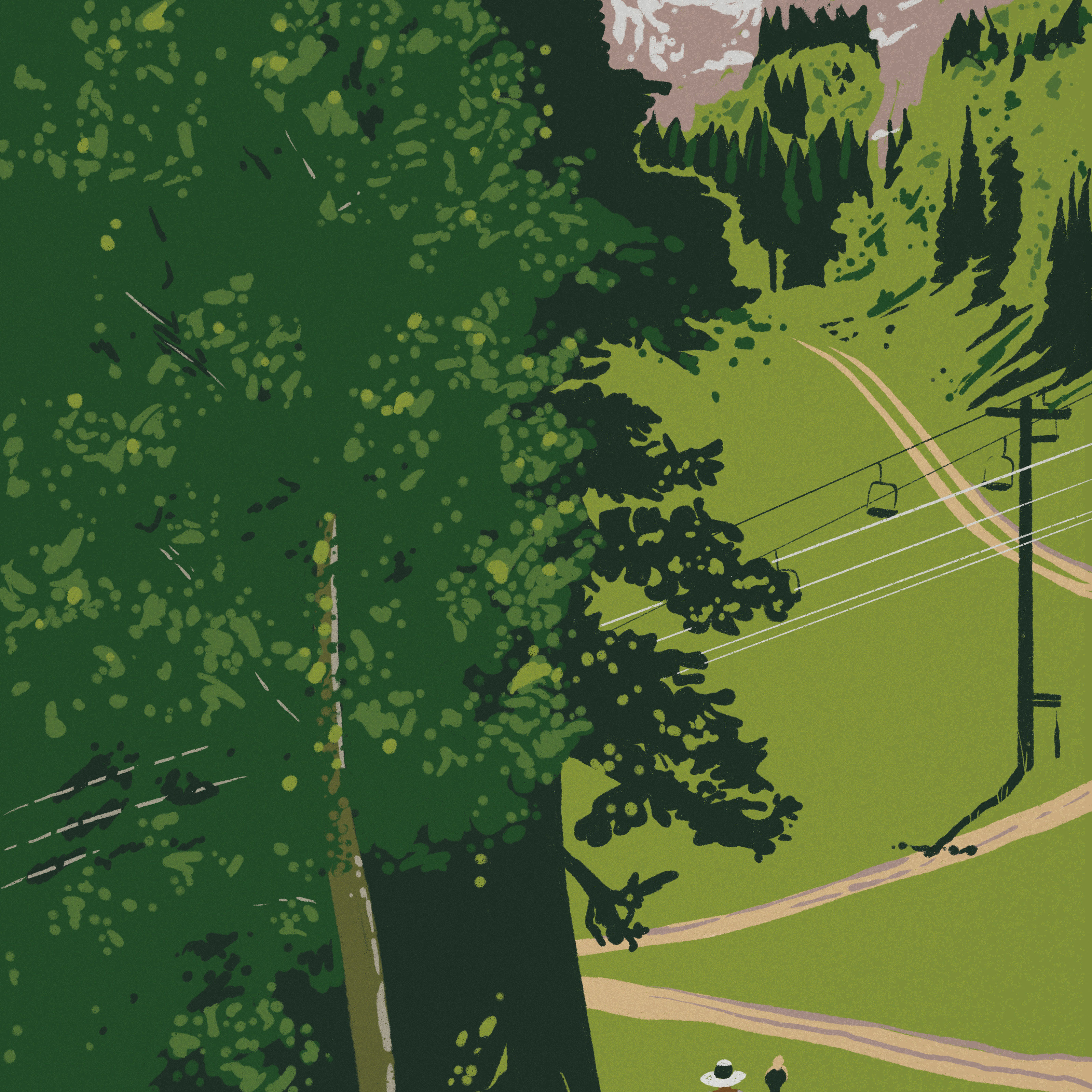
Discover a walkable or bikeable route (perhaps via shared e-bike): Should you prefer to walk or cycle, simply follow the colorful dots on paved (and packed gravel) paths, which safely connect neighborhoods all the way from Summit Park to Deer Valley. The color-coded wayfinding system (parkcity.org/departments/trails-open-space/trails-and-pathways/pathways) lays out walkable and bikeable routes; and at key intersections, signs indicate distance and estimated time to various destinations. For a little power boost, partake in the e-bike program Summit Bike Share (summitbikeshare.com), which has stations strategically located throughout the county.
Avoid trailhead parking woes: City and county buses (several of which have bike racks) serve as a convenient way to access various trailheads, particularly those without parking. Adventurers can also ride the free Transit to Trails shuttle (utahopenlands.org/transit-to-trails) from the Munchkin Rd. parking lot to a trio of Guardsman Pass trailheads (and back).